|
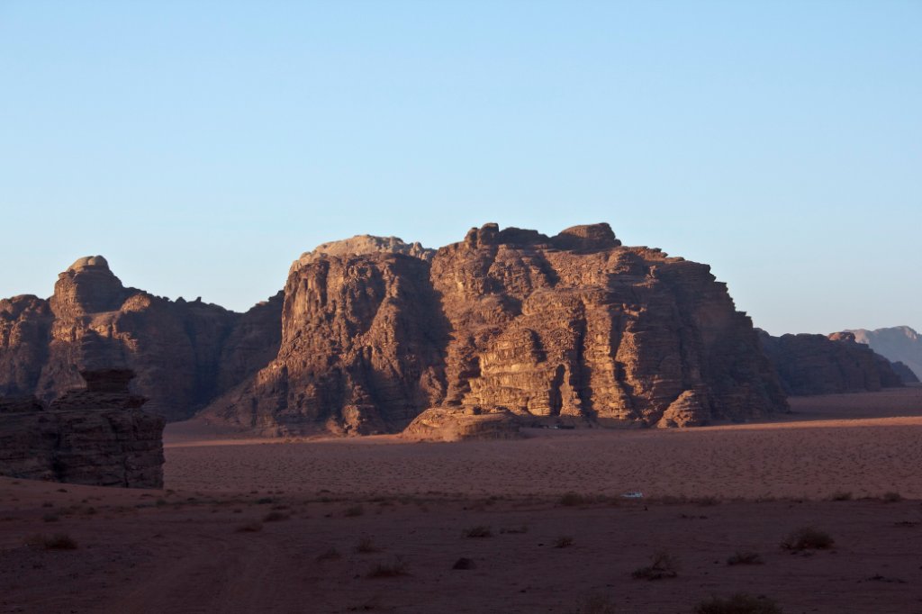 |
| Wadi Rum at sunset | |
| Latitude: N 29°31'50,21" | Longitude: E 35°26'36,92" | Altitude: 1022 metres | Location: Wadi Rum | State/Province: Al Aqabah | Country: Jordanië | Copyright: Ron Harkink | See map | |
| Total images: 22 | Help | |
|
|
|
| Wadi Rum at sunset | |
| Latitude: N 29°31'50,21" | Longitude: E 35°26'36,92" | Altitude: 1022 metres | Location: Wadi Rum | State/Province: Al Aqabah | Country: Jordanië | Copyright: Ron Harkink | See map | |
| Total images: 22 | Help | |